Firloch updates
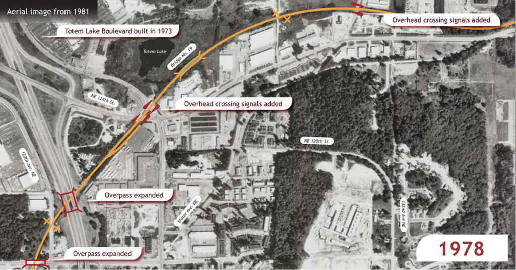
Thanks to the time and talents of Noel Sherrard, the Firloch page of the Lake Washington Belt Line feature now has an animated map that shows the evolution of industries, spurs, and streets over the life of the line. We hope this helps you visualize the changes over time.
(The image below is static. Go to the Firloch page to see the animation.)

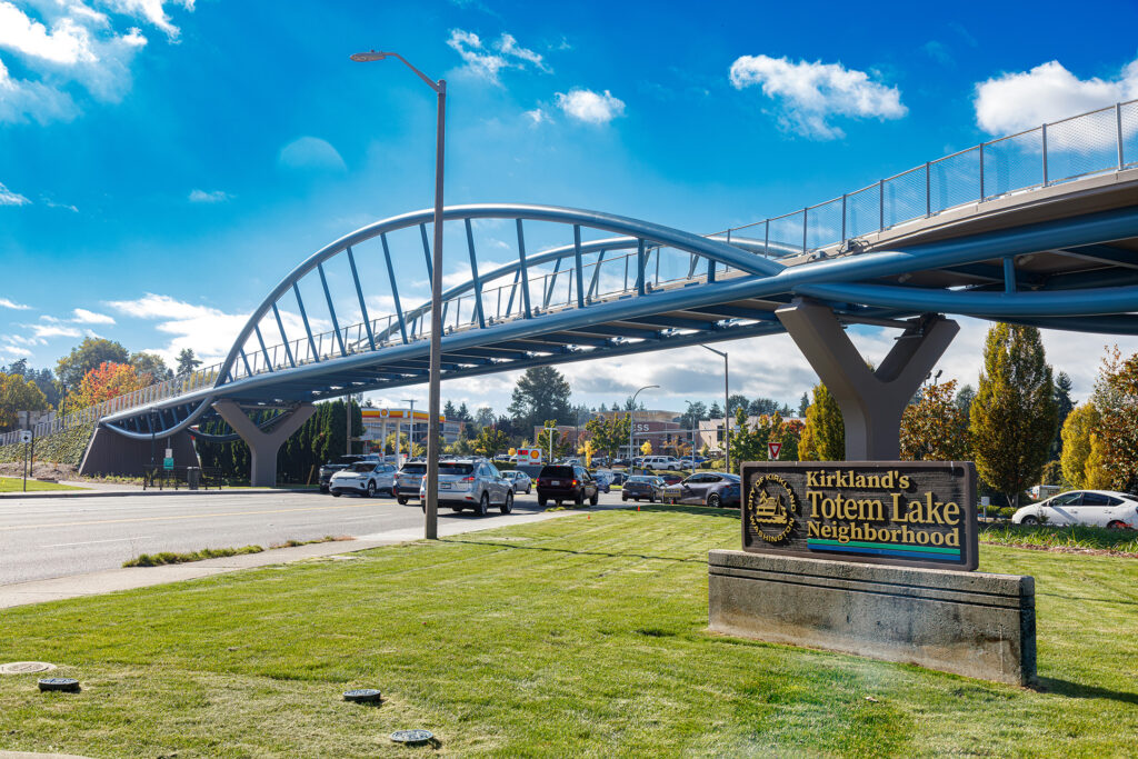
Also, Matt recently took some photos of the new Totem Lake Connector pedestrian and bicycle bridge, which soars through the heart of this area. You can view the photos at the bottom of the Firloch page.

